Dam or legal shoreline stop plus one lake activity
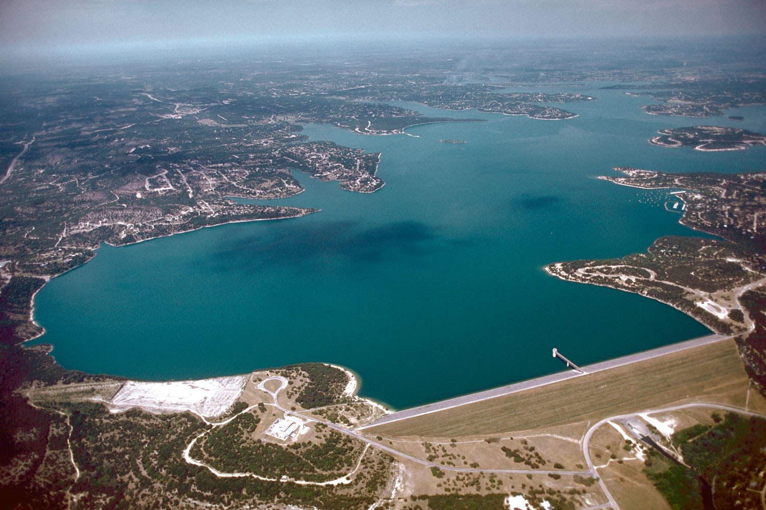
Canyon Lake looks simple on a map. It is not. It has a long shoreline, multiple access points and road networks that make opposite shores feel farther apart than they look.
Tony’s call: Choose the activity, exact access point and lodging side—in that order. “Near Canyon Lake” is too vague to protect a good day.
DRIVE THE SOUTH SHORE
See the dam before you chase the shoreline
Start in Sattler, orient at Canyon Dam and Overlook Park, then decide whether Comal Park belongs in the same day. The selected map gives the stop sequence; live directions supply the actual roads.
Think in shores, not one lake district.
The dam and south side provide the clearest orientation. The north and northwest shore can support parks, Cranes Mill history and quieter road exploration. The east and northeast side pair more naturally with the upper Guadalupe. The correct choice still depends on the exact park, ramp or marina.
The road is part of the plan.
Water separates places that appear adjacent on a map. Before booking, map the actual sequence at the hour you expect to travel and keep one backup access point.
Pick the activity before the address.
Boaters should choose the ramp first. Swimmers should identify a developed access area rather than assume shoreline access. Anglers need to distinguish boat access from bank access. Families should check restrooms, shade and walking distance before leaving.
The lake is infrastructure as well as scenery.
The Corps completed Canyon Dam in the 1960s for flood control and water conservation. The result is an 8,000-plus-acre reservoir whose parks and public land are interwoven with private development.
Think in access zones
The dam and south side provide the clearest orientation and connect most naturally toward New Braunfels. The north side supports Canyon Park and different road approaches. The Cranes Mill side carries its own marina, park and pre-lake history. The upper-Guadalupe side belongs to a river transition, not simply another lake shore.
Match the shore to the activity
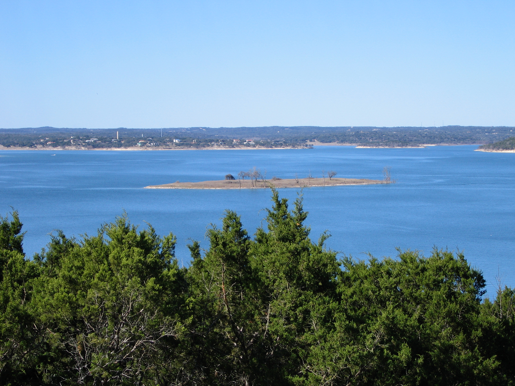
Boaters choose an open ramp before lodging. Swimmers choose a managed beach before packing the car. Anglers distinguish boat, pier and bank access. Families verify restrooms, shade and walking distance. Scenic visitors should not occupy launch areas or assume every shoreline road reaches public land.
Low water changes more than the view
Lake elevation affects ramps, exposed terrain and the practicality of familiar access points. A park can be open while the feature you intended to use is not. Check USACE and the relevant operator on the morning of the visit.
Read the landscape historically
Canyon Lake is a twentieth-century flood-control and water-supply project imposed on an older Guadalupe valley of farms, roads, cemeteries and communities. Recreation is real, but it rests on a transformed landscape.
Tony’s judgment: “Near Canyon Lake” is not a usable description. Name the shore, access point and road route.
Road distance is cultural information
The long drives between shores shape which towns, schools, stores and gathering places residents use. Visitor inconvenience reflects a real lived geography. Treat each shore as connected to a different set of roads and communities rather than as an interchangeable edge of one resort.
Build a shore-specific backup
If a ramp or park fails, the replacement should be on the same side of the lake whenever possible. Save one nearby overlook, trail, meal or river stop before departure. A backup across the reservoir can cost more time than the original activity.
A reservoir with several jobs
Canyon Lake is beautiful, but its meaning begins with the dam. Construction started in 1958, the dam was completed in 1964, impoundment followed, and the reservoir reached conservation pool in 1968. The Corps describes a 1,432-square-mile drainage area above the dam. Flood-risk reduction, water supply, downstream releases, habitat and recreation therefore coexist—and sometimes compete—in the same body of water.
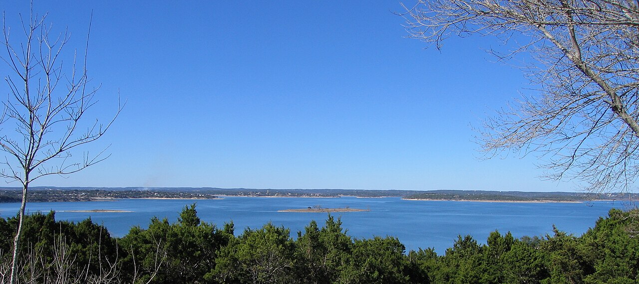
That history explains why the shoreline moves and why yesterday’s photograph is not a guarantee. At lower elevations, ramps lengthen, coves retreat and informal shoreline routes can become steeper or muddier. After heavy rain, the lake may rise while debris, wind and downstream releases complicate recreation. The number on the lake gauge matters, but it must be interpreted alongside the exact park, ramp, boat and ability of the group.
Build a lake day from the access point outward
Start with the official park or marina, not with a vague promise to “go to the lake.” Confirm gate hours, entrance fees, swimming rules, restrooms, shade and whether the ramp is open at the current level. Cranes Mill and Potters Creek are developed camping areas; North Park is more primitive; leased parks have their own operators and procedures. A family seeking a swim, an angler launching before sunrise and a couple wanting an overlook need different destinations.
Wind deserves more respect than it receives. Open water can become uncomfortable or unsafe even when the sky is blue. Paddlers and small-boat operators should study the forecast, shore orientation and return route. Swimmers should use designated areas where available and should not treat a boat ramp as a beach. Properly fitted life jackets, sober operation and a clear weather exit are baseline planning, not signs of inexperience.
See the lake beyond the water
The gorge below the dam exposes the force of the 2002 flood and a long geological record. The dam overlook reveals the engineering scale. Nearby communities show how a federal reservoir reorganized roads, land value and recreation. A complete Canyon Lake visit can include boating or swimming, but it should also make visible the system that created the modern landscape.
What the gauge cannot tell you
Elevation describes the lake surface relative to a reference point; it does not tell you whether a specific ramp lane is open, a beach is comfortable, debris is present or wind will permit a safe return. Use the gauge to frame the question, then check the responsible park or marina. Local observation completes the decision.
Why I make that choice
I would not drive out simply to say I saw the water. The reservoir is too large and public access too specific for a rushed drive-by to be satisfying.
Plan the experience
Essential, full and fallback
Realistic time4–8 hours
Cost postureFree to moderate; rentals and some facilities cost more
Access realityPublic access is specific, not continuous around the shore
Open the field map · Check current events · Check lake, river and weather conditions
GET ON THE WATER · EXACT ACCESS FIRST
What to do at Canyon Lake
Rent a boat
Canyon Lake Marina lists tritoons, double-decker pontoon boats, center-console boats, personal watercraft, paddleboards and kayaks; availability, age rules and price vary. Cranes Mill Marina is another rental and slip base on a different shore. Reserve for the exact marina and confirm weather and operator requirements.
Bring your own boat
Pick an open launch with enough water for your vessel and trailer before leaving. The Corps ramp list names sites and operators; Texas Parks and Wildlife access adds practical context. Check current lake level, ramp status, fee, trailer parking and any inspection requirements with the operator. A ramp on the map is not a promise of launchability today.
Paddle or swim
A kayak or board rental gives you a smaller, weather-sensitive outing. For swimming, use a designated area and check its admission terms: the Corps swim-beach guide notes that some beaches, including Potters Creek, are reserved for campground users. A boat ramp is not a swim beach; wind and boat traffic matter even on a clear day.
Stay on land
Choose a shore park for a picnic, fishing access or a walk; visit the dam overlook, or book the gorge for a guided look at the 2002 flood’s effects. These are worthwhile lake days when rentals or launch conditions do not fit.
Build the outing: Decide between marina rental, own-boat launch, paddle, swim and dry land. Then check the responsible operator, water and weather desk, exact address and return drive. The north and west shores are not quick substitutes for the south shore after you arrive.
Sources & further reading
- U.S. Army Corps of Engineers — Canyon Lake information
- Texas Parks & Wildlife — Canyon Lake public access
- Texas State Historical Association — Canyon Lake
Tony’s Guide separates documented history from interpretation. If you spot an error or know of a primary source we should examine, send a correction.
Choose an exact lake stop
For a first south-shore visit, use Canyon Lake Overlook Park as the named starting point and check current park access before leaving. My allowance is 60–90 minutes for one viewing visit, excluding the drive and meal. Leave a second trail optional.
| Optional outing | What the official source establishes | Planning decision |
|---|---|---|
| Guadalupe Trail below the dam | The Corps lists a hiking-only trail just under one mile each way on the south bank, with parking off South Access Road. High releases can close it. | Allow 60–90 minutes for the walk and return; confirm releases and closure. Step-free suitability is unverified. |
| Old Hancock Trail | The Corps lists four miles each way, mostly flat open prairie with sparse shade, starting off Hancock Road. It does not provide access to Canyon Park. | Choose a shorter turnaround deliberately; this is a separate north-shore hike, not a quick add-on. |
| Cranes Mill boat ramp | The Corps publishes a $5 vehicle boat-ramp fee. | This is the ramp fee, not a marina rental, a camping price or a general lake admission charge. |
Official details checked October 11, 2026: Corps trail information and Corps fees. Time allowances are Tony’s planning estimates. Check conditions and the exact access point before driving.