Choose one shore, one legal access point and one meal corridor
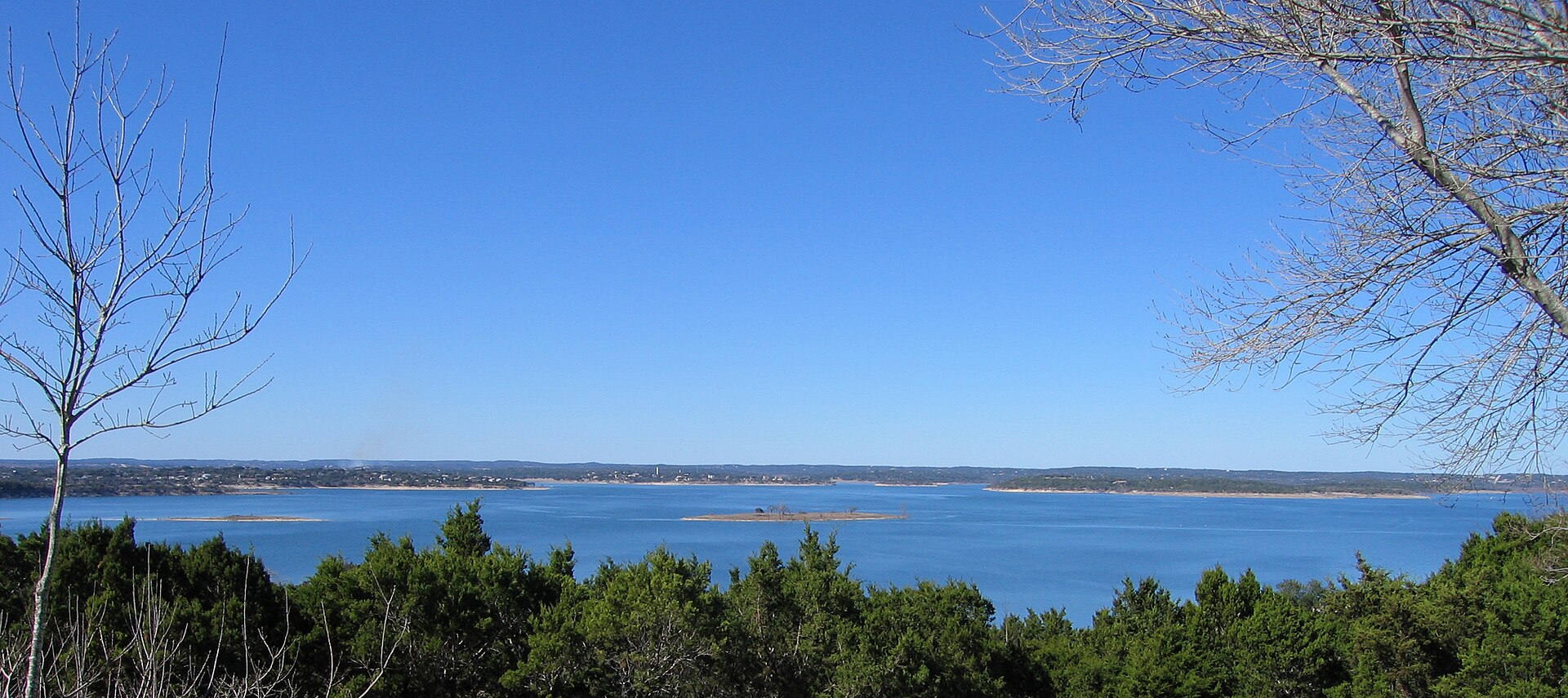
Canyon Lake punishes vague planning. A rental can be “at the lake” and still be a long drive from your preferred park, ramp, restaurant or stretch of river. The shoreline is broken by coves, peninsulas and public land. There is no continuous waterfront road and no single walkable lake town.
Tony’s rule: Pick the access point first, then choose lodging. Lake distance in a listing is nearly meaningless unless you know the actual drive.
South shore: easiest from New Braunfels
The south side makes sense for travelers splitting time among Gruene, downtown New Braunfels and the lake. Comal Park is a major day-use anchor with a designated swim area when open, while the dam and overlook add the region’s clearest explanation of why the lake exists. This side generally offers the simplest connection back toward FM 306 and the city.
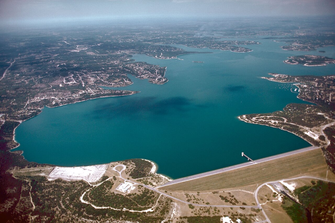
Best for: first visits, mixed itineraries, swimming plus sightseeing. Watch for: seasonal hours, entrance limits and weekend lines.
Map Comal Park Directions Map the dam Directions
North shore: recreation and broad water
Canyon Park anchors the north side with day-use recreation and designated swimming areas when operating. Nearby communities give access to FM 306, but a “quick run” to New Braunfels can lengthen with traffic. The north side works well when the lake is the trip rather than one item in a city weekend.
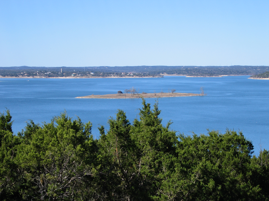
Best for: long lake days and groups who do not need constant downtown access. Watch for: gate status, parking capacity and the distance between your rental and the actual park entrance.
West shore: camping and a quieter base
Potters Creek Park provides Corps of Engineers camping and a swim area reserved for registered campers. Cranes Mill Park connects the lake to the older valley history and serves campers and boaters. The west side can feel removed from the busier visitor circuit, which is either the point or a logistical problem.
Best for: campers, boaters and travelers who value quiet over restaurant variety. Watch for: advance reservations, ramp status and longer supply runs.
Map Potters Creek Directions Map Cranes Mill Directions
East and upper lake: river connection
Toward Sattler, the lake trip blends into the upper Guadalupe. Overlook Park, the dam area and the trail toward Canyon Lake Gorge put geology and water management beside recreation. This is the strongest base for a trip combining River Road, a booked upper-river float and an interpretive lake stop.
Best for: river-and-lake weekends, hikers and geology-minded visitors. Watch for: gorge access requirements and the difference between an overlook and a swimming access point.
Map Overlook Park Directions Map Canyon Lake Gorge Directions
Boat ramps are dynamic infrastructure
Ramp usefulness changes with lake elevation. A ramp shown on a general map may be closed, difficult or unsuitable for your boat on the day you arrive. Check the operating agency’s current status and never infer conditions from an old review. Parking lots also fill before the water looks crowded.
What the lake is not
It is not a resort promenade. It is not continuously public at the water’s edge. It is not interchangeable with the Guadalupe below the dam. Its spaciousness is real, but so are the drives, gates, fees, closures and limestone shorelines. Plan around those facts and the lake becomes generous rather than frustrating.
The shoreline is a set of separate destinations
Canyon Lake’s branching coves and limited crossings make shore choice the central planning decision. The north shore, south shore, dam area and western reaches are connected by road, but not quickly enough to treat them as one continuous recreation district. A rental that looks close to a marina across the water may require a long drive around the lake. A launch ramp can be visible from a neighborhood yet inaccessible without using the proper public road and gate.
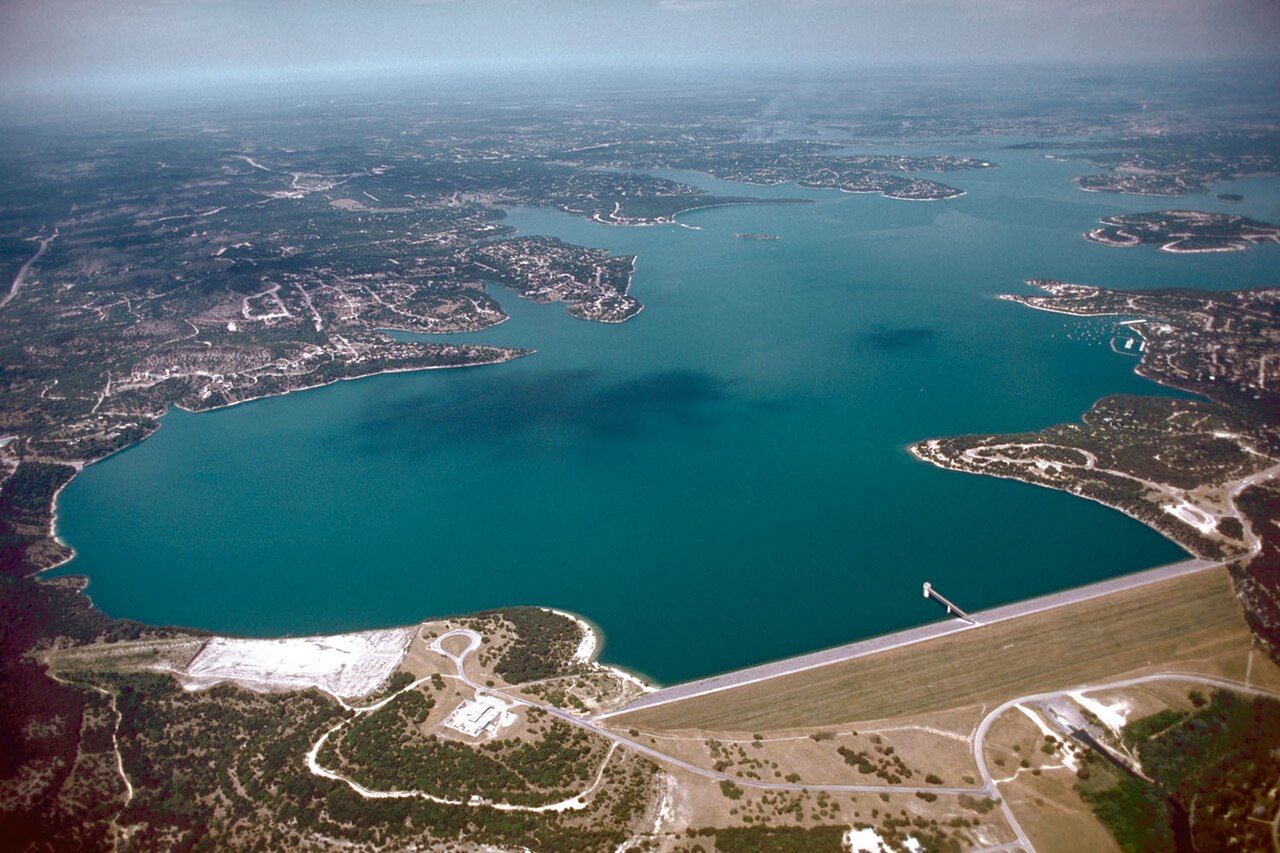
The dam and eastern end are the clearest places to understand the lake as infrastructure. Canyon Dam was begun in 1958, completed in 1964 and followed by impoundment; the lake reached conservation pool in 1968. The U.S. Army Corps of Engineers built it for flood-risk reduction and water conservation, with recreation, habitat and other public benefits developing around that engineering purpose. The overlook, dam crest and gorge area help visitors see that the reservoir is managed water, not a naturally formed Hill Country lake.
Match the shore to the activity
The western and southwestern side around Cranes Mill emphasizes camping, boating and broad-water access. Cranes Mill is the westernmost Corps park and operates differently across seasons. The north shore includes leased recreation areas and routes toward the upper lake. The south and southeast provide access to developed parks, communities and the dam corridor. None of these descriptions replaces a same-day check: ramp operations, gate hours, low water, construction and seasonal schedules change what is usable.
For a shore-based day, choose the park before leaving the house. Verify whether it offers swimming, a fishing pier, picnic tables, restrooms or only a view. “Day use” does not guarantee every amenity, and a paved boat ramp is not automatically a comfortable swimming entrance. For boating, select the ramp and marina first, then book lodging and meals on the same side whenever possible.
Tony’s shore rule
Do not drive toward “Canyon Lake” without naming the exact gate, park, ramp or marina. Put that destination into the map, check its official status and identify one fallback on the same shore. This single discipline prevents the region’s most common waste of vacation time: circling water that looked close from the other side.
North shore, south shore and western lake are not interchangeable
The north shore places visitors near Canyon Park, the upper lake and routes toward Hancock and Rebecca Creek. The south and southeast connect more naturally to Startzville, Sattler, the dam and New Braunfels. The western lake around Cranes Mill feels more remote and boating-oriented. Those are not marketing districts; they are practical road systems. Select the shore that contains the majority of the trip rather than the rental with the best interior photographs.
At every shore, public access must be named. A subdivision road ending near water is not an invitation, and a low lake can expose land that remains controlled or unsafe. Use Corps, county, WORD or marina information for the specific property. The field map should orient the trip, but the responsible operator remains the final source for gates, ramps, fees and closures.
Why I make that choice
That sounds obvious until somebody discovers that the attractive pin across the water requires another long road circuit. Pick one side, make a good day there and cross the lake only when a reservation or genuinely better experience earns the drive.
Plan the experience
Essential, full and fallback
Realistic time4–8 hours
Cost postureMostly free to moderate; some parks and rentals charge
Access realityShore access, ramps and park status can change
Open the field map · Check current events · Check lake, river and weather conditions