Choose one legal access or outfitter and one river reach
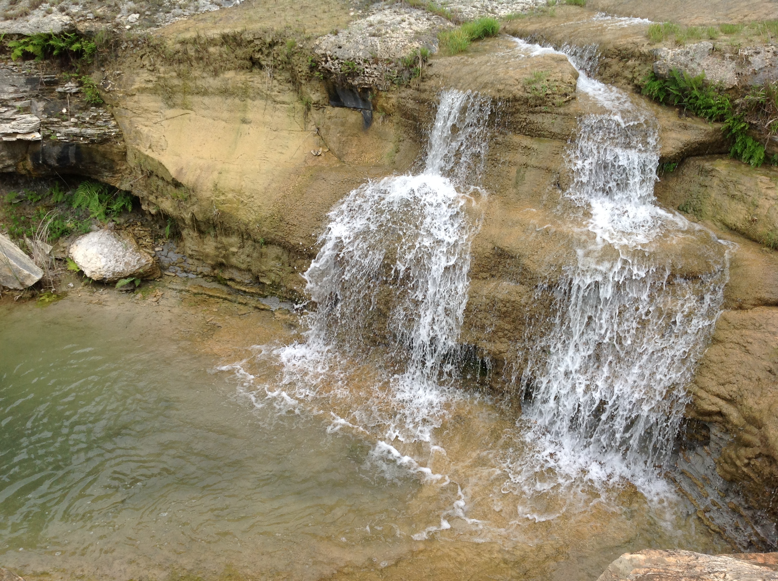
“Do the Guadalupe” is not a plan. The river changes character by reach, season, flow, dam operations and access. If somebody gives you one number for the entire river, they have simplified it past usefulness.
Below dam · Sattler
—
Loading flow…
Guadalupe · New Braunfels
—
Loading flow…
Comal · New Braunfels
—
Loading flow…
Tony’s call: Choose the reach and experience before choosing an outfitter. Then verify live conditions and local restrictions that morning. Open the complete live water report.
Read the number, then read the place
The Sattler gauge tells you what is moving immediately below Canyon Dam. The New Braunfels gauge describes the Guadalupe farther downstream, above its meeting with the Comal. Those readings may differ because tributaries, rainfall, travel time and channel conditions intervene. Neither gauge describes every chute, obstruction, water temperature, access point or operator decision.
Discharge is reported in cubic feet per second. It measures volume passing the gauge, not depth everywhere downstream. Gage height is a local water-surface measurement tied to that station; raw stage numbers from different gauges should not be compared as though they share a common zero. Recent rain can add debris and faster water. Low flow can create longer trips and more contact with the riverbed. Posted closures override every number on this page.
The Guadalupe changes by section
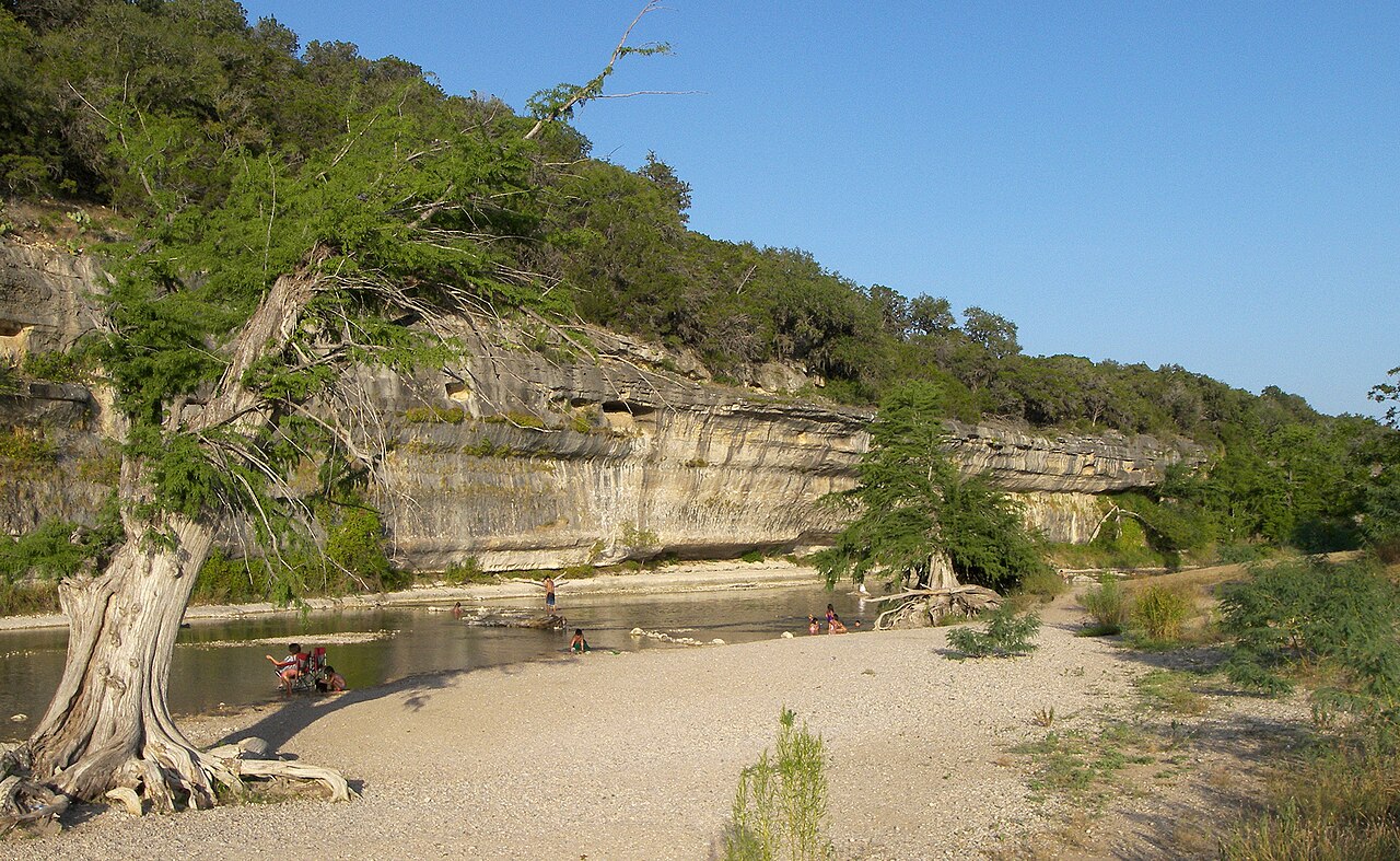
Above Canyon Lake, the river drains a broad Hill Country watershed and moves through public parks, private land and rural crossings. It can respond to rain that never falls in New Braunfels.
At Canyon Lake, the river becomes a federal reservoir. Canyon Dam stores water for flood-risk reduction and water supply. The lake is not a natural pause in the river; it is an engineered control point.
Below the dam at Sattler, managed releases strongly shape the cold-water river and its recreation economy. The Sattler gauge is the one to watch for this reach. It is more relevant than the New Braunfels gauge when the planned float begins near the dam.
Along River Road, the river may be visible for miles while much of the bank remains private. Campgrounds, outfitters and lawful public points—not the apparent nearness of the water—determine access.
At New Braunfels, the Guadalupe becomes more urban and heavily used before receiving the spring-fed Comal. This is where visitors most often make the mistake of speaking about “the river” as though the Comal tubing district and Guadalupe trips were identical.
The Comal is a different river
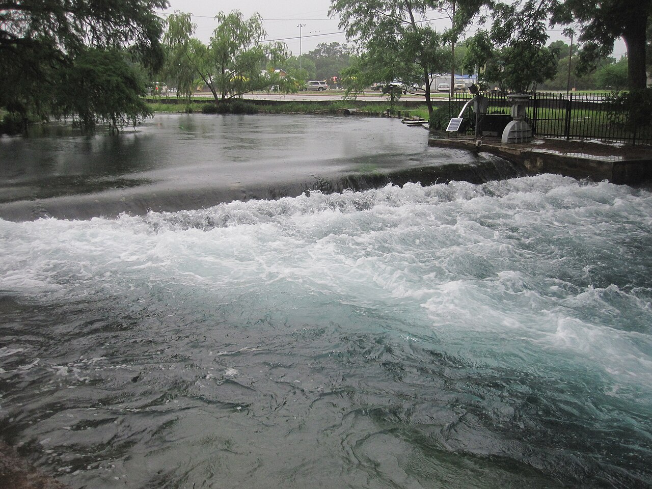
The Comal rises from the spring system at Landa Park and runs only a short distance before joining the Guadalupe. It is not water released from Canyon Dam. Its flow, access, tubing logistics and urban setting differ from the Guadalupe below the dam. Families choosing between the Comal and Guadalupe are not choosing two versions of the same float.
Decide what you mean by a river day
Commercial tubing is a transportation and timing exercise as much as a water activity. Paddling requires a launch, take-out, craft, skill and rescue judgment. Swimming from a developed park depends on lawful access and local conditions. Fishing below the dam involves cold water, releases and a different rhythm. Sitting beside the river may be the best answer for a group that does not need to enter the water to enjoy it.
Ask before paying
- Which river and exact reach are we using?
- Where do we enter and exit, and are both legal and open?
- How long is the trip at today’s measured flow?
- Where do we park, and is the shuttle included?
- What are the age, life-jacket, container and personal-item rules?
- What happens if weather changes or somebody wants out early?
Access is part of the river plan
Public water does not turn every bank into public land. Use lawful entry and exit points. Do not cut across a property because a map makes the river look close. On River Road, especially, the view can create a false sense of access. A reputable outfitter, developed public park or confirmed campground arrangement removes guesswork.
Three river days that make sense
Managed float: pick a reputable operator for one named reach, accept the shuttle system and follow its cutoff time. Upper-river day: reserve Guadalupe River State Park or another confirmed legal site and expect a longer drive. Observation day: use a park, overlook or bridge setting, keep everybody out of the current and let the river be the landscape rather than the activity.
Read the group as carefully as the gauge
Cold water, sun, alcohol, noise and hours outdoors reduce judgment. Build the exit and recovery plan while everyone is rested. Food, dry clothing, keys, medication and transportation belong in the plan before anybody enters the water. If one swimmer is nervous, do not use group pressure to turn a marginal day into a float.
My bottom line: If you cannot name the river, the reach, the entry, the exit and the current condition, you do not yet have a river plan. Choose a developed park, a lake overlook or the history route and come back under better conditions.
The river is a corridor of different reaches
Above Canyon Lake, the Guadalupe moves through Hill Country ranches, parks and private frontage. Within the reservoir, its channel becomes part of broad managed water. Below Canyon Dam, releases shape temperature, depth and recreation. Near Gruene and New Braunfels, access, outfitters and urban use intensify. A single flow number cannot describe all of those reaches, and advice without a location is incomplete.
Guadalupe River State Park protects four miles of river frontage along the Comal–Kendall county boundary. Texas acquired the property in 1974 and opened the park in 1983. The park provides developed day use, camping, trails and access to Honey Creek programs; it is not a guarantee that every water activity is suitable on every date. Reservations, capacity, weather and river condition still govern the day.
Access is a legal and logistical question
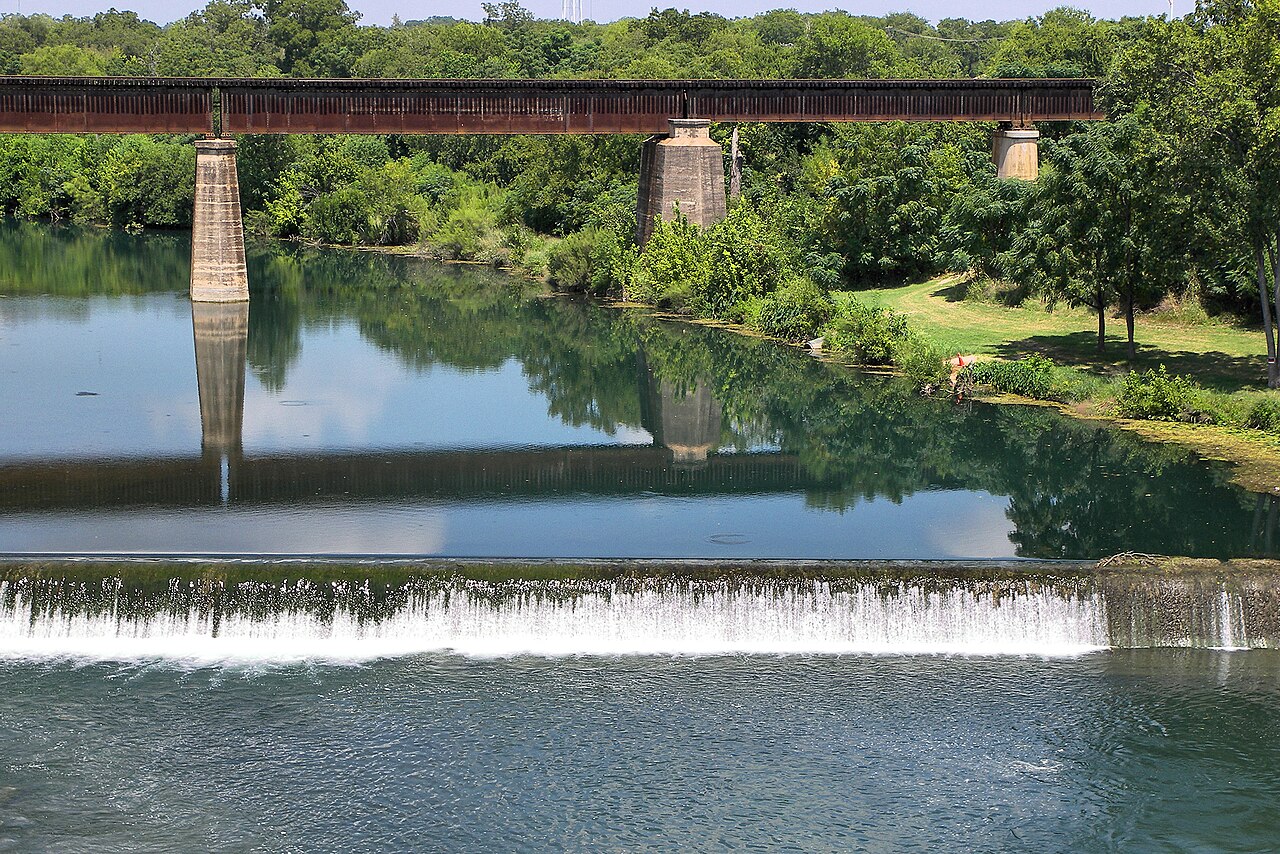
Texas river law does not turn every bank, road shoulder or neighborhood path into public access. Use established parks, ramps and outfitters. Know where the vehicle will be at the end. On River Road, narrow travel, private property and flood-prone crossings require patience. On the upper river, reservations and distance from services matter. Below the dam, release information and the exact outfitter reach matter.
Tony’s river test
Name the reach, legal entry, exit, present condition and weather escape. If any one of those remains vague, the plan is not ready. The Guadalupe rewards preparation because its variety is the attraction—not a defect to be simplified.
Why I make that choice
The reach, release, access point and weakest swimmer change the answer. I verify conditions, choose one legitimate entry and refuse to build today’s river plan from yesterday’s report.
Plan the experience
Essential, full and fallback
Realistic time2–8 hours
Cost postureFree overlooks to paid outfitter trips
Access realityFlow, releases, legal access and swimming ability are decisive
Open the field map · Check current events · Check lake, river and weather conditions
Official sources
- USGS — Guadalupe at Sattler
- USGS — Guadalupe above the Comal at New Braunfels
- USGS — Comal at New Braunfels
- U.S. Army Corps of Engineers — Canyon Lake and dam
- Texas Parks & Wildlife — Guadalupe River State Park
Live measurements are provisional. Tony’s Guide separates official readings from my interpretation and does not substitute for closures or on-site judgment.