Drive the corridor in daylight with one planned legal stop
DRIVE THE CORRIDOR
See River Road on a road map
Follow the ordered crossings from Gruene to Sattler and Canyon Dam. The map shows the drive; check closures and never enter floodwater.
River Road is less a list of attractions than a changing relationship with the Guadalupe. North of New Braunfels, the road folds between limestone walls, cypress shade, private camps, low crossings and long glimpses of green water. It can be sublime at nine in the morning and exhausting by three in the afternoon. Timing and restraint matter.
Tony’s take: Drive River Road for the road itself. If you need every mile to deliver a formal stop, you will miss what makes it special—and may trespass trying to manufacture one.
What the drive is really like
The classic section runs between New Braunfels and the Sattler/Canyon Lake area. It is narrow, curving and busy in warm weather. Houses, outfitters, campgrounds and event properties sit close to the pavement. The river appears and disappears. Several crossings bring you down to water level, which is beautiful in ordinary conditions and dangerous during high water.
Expect cyclists, motorcycles, trailers, pedestrians and drivers looking for an address. Passing opportunities are limited. This is not the place to chase a schedule or stop in the roadway for a photograph.
Public access is not continuous
Seeing water does not mean you can enter it. Much of the bank is private, and many access points belong to campgrounds, outfitters or lodging businesses. Arrange a legal put-in, day-use pass or reservation before you arrive. Do not climb fences, cut through a campsite or park on a shoulder because a map shows the river nearby.
For a simple scenic trip, pair the drive with a lawful public anchor: Hinman Island or Cypress Bend closer to town, the dam overlook near Canyon Lake, or a booked campground/outfitter access point. Verify hours and river rules on the day of travel.
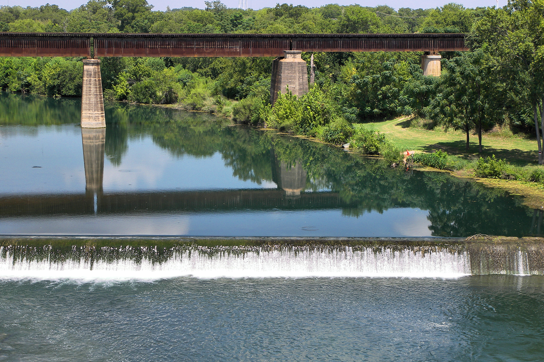
Northbound versus southbound
Northbound builds gradually from town into the limestone corridor and works well when Canyon Lake is your finish. Southbound gives you the upper river first and returns you toward food, downtown and Gruene. Neither direction is universally better. I prefer northbound early, before traffic thickens, with a lake or Sattler lunch as the payoff.
A sane half-day
- Start early in New Braunfels with fuel, water and a restroom stop.
- Enter River Road without promising yourself a swim at the first visible water.
- Use only a planned legal access point.
- Continue toward Sattler and Canyon Dam.
- Return by FM 306 if you want a faster, less repetitive drive.
The crossings are the visual punctuation
River Road crosses the Guadalupe repeatedly. Those low approaches put the road at water level and create the drive’s most memorable transitions. They are also working pieces of infrastructure, not scenic pull-offs. Never stop on a bridge or roadway to make a photograph. Use the mapped crossing links to understand the sequence, and photograph only from a lawful, safe place where parking is permitted.
Crossing 1 Crossing 2 Crossing 3 Crossing 4
Who should go—and who should skip it
Go if you like landscape, unhurried drives, river geology and the idea of choosing one good stop. Skip it on a tight airport schedule, when a passenger gets carsick on curves, or during active flood watches. Large recreational vehicles require special caution; confirm your destination route rather than assuming the entire corridor is comfortable for your rig.
Flood and crowd judgment
River Road’s intimacy is exactly why it requires respect. High water can close crossings. Summer weekends bring congestion and impaired drivers. Cell coverage is not a substitute for preparation. Check weather and river conditions, keep your phone charged, and never move a barricade. If the road feels too busy to enjoy, leave. The river will still be there on a Tuesday morning.
A road shaped by the Guadalupe
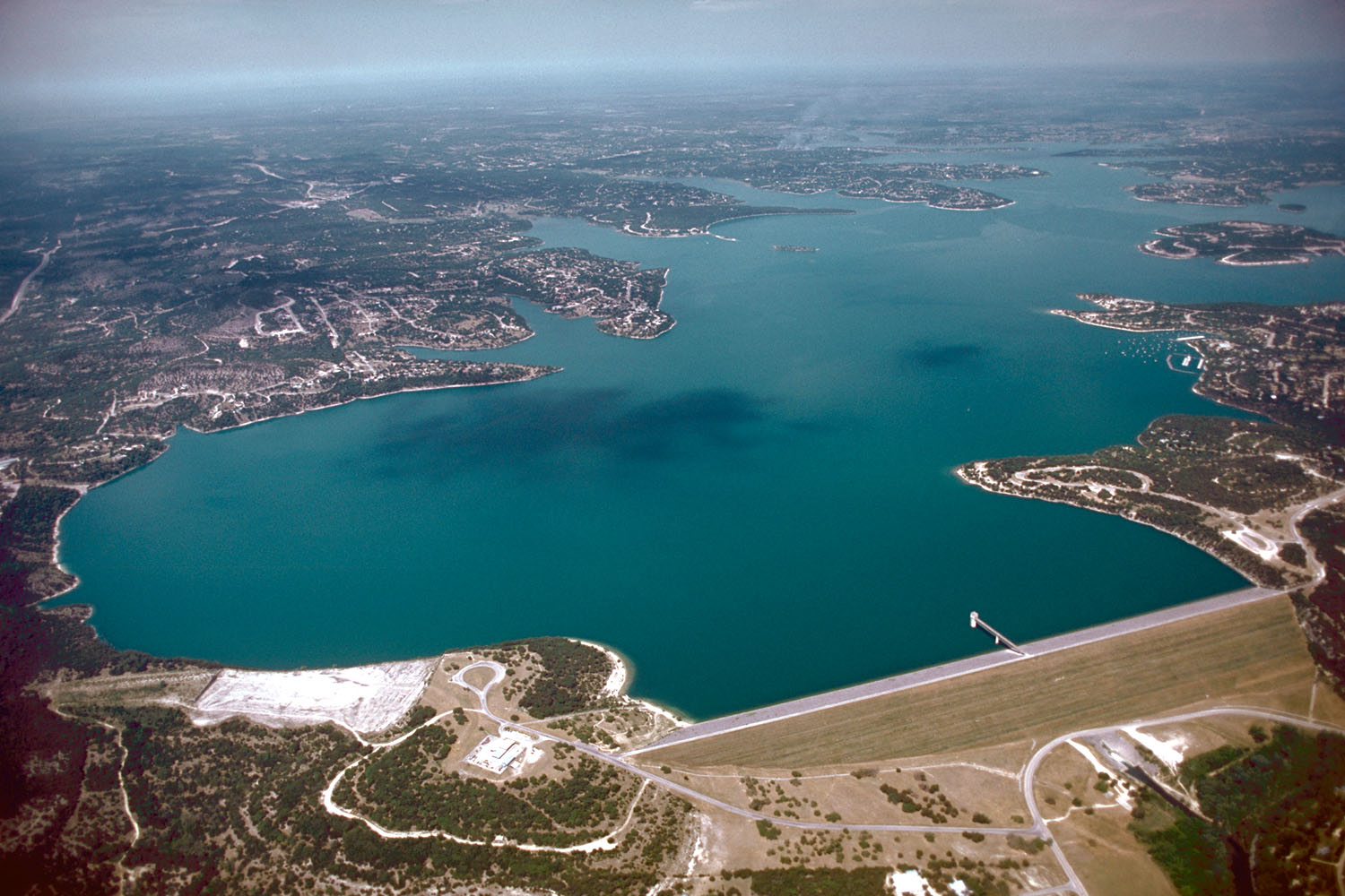
River Road is compelling because the traveler repeatedly encounters the river, limestone walls, cypress bottoms and human adaptation to a narrow corridor. It is not a high-speed scenic byway. Curves, limited shoulders, private access, campgrounds and low-water vulnerability demand attention. The passenger should study the landscape; the driver should drive.
The corridor also reveals a recreation economy built around the river. Outfitters, camps, music venues and lodging depend on access and seasonal water, while residents manage traffic and flood risk. Treat businesses and private banks as lived property, not as public pullouts.
Where to stop
Choose legal destinations in advance: an outfitter, restaurant, reserved campground, public access or the dam area. Random stopping creates danger and encourages trespass. A complete drive pairs one legitimate river stop with one interpretive anchor—Canyon Dam, the gorge or a historical site—then returns without racing sunset.
Flood memory belongs on the drive
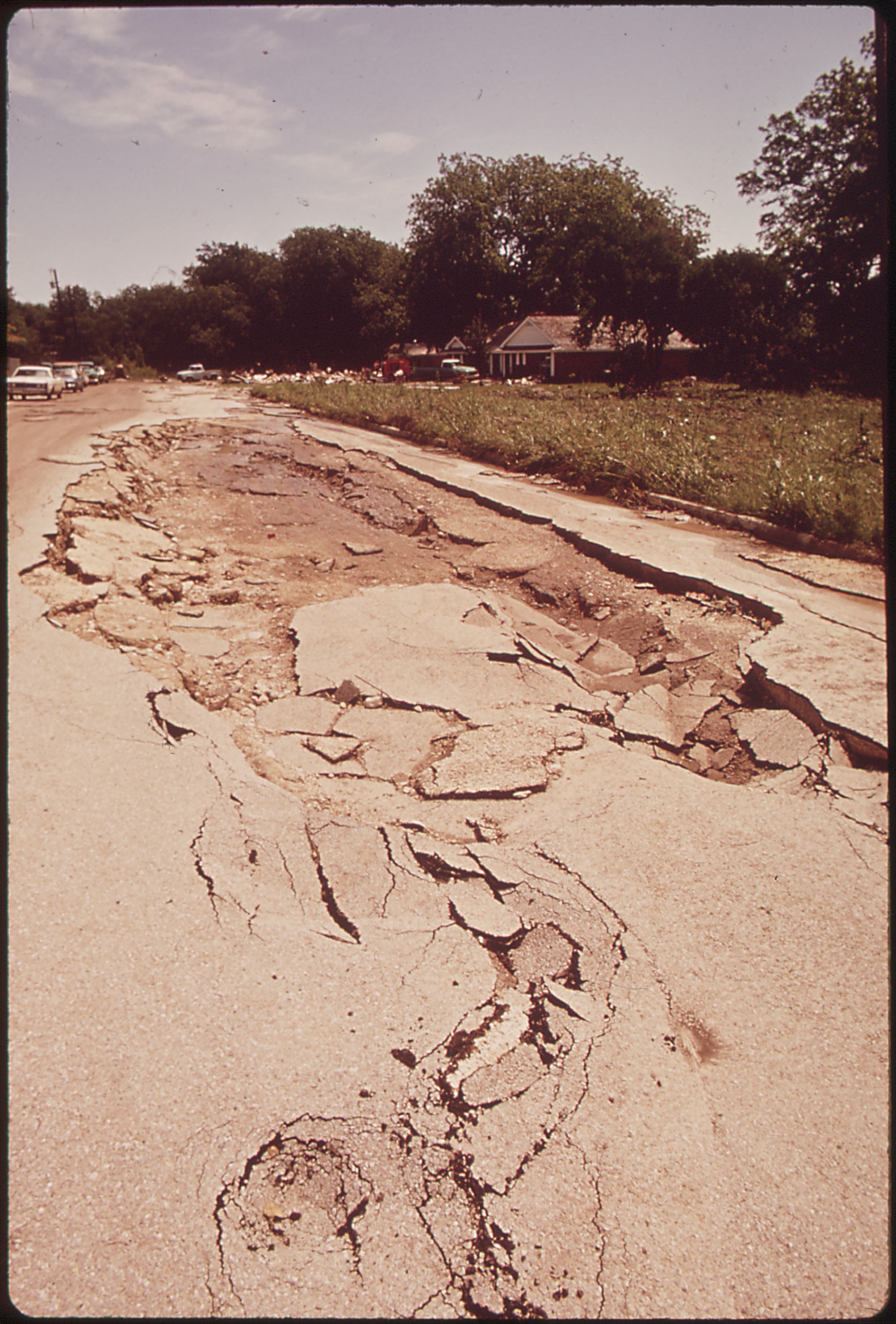
High-water marks, crossings and damaged landscapes are not background drama. Central Texas flash floods have killed people who underestimated water-covered roads. If rain is forecast or recent, check official road information before entering the corridor. A closure cancels the scenic loop; it does not invite improvisation.
The best pace is slower than the speed limit
Allow faster local traffic to pass when a safe turnout exists, but never create a sudden stop to do it. Drivers unfamiliar with the curves should keep both hands available and leave the phone to a passenger. Early morning offers softer light and less traffic; darkness removes much of the scenery while preserving every curve and crossing.
Why the corridor matters
River Road compresses recreation, private property, flood history and natural beauty into a few winding miles. That tension is the story. The same closeness to the Guadalupe that creates camps, music and memorable views also creates evacuation problems and fierce pressure on access. A thoughtful visit recognizes both realities. Use legitimate stops, spend locally, respect residents and leave before weather or darkness turns a leisurely drive into a difficult one.
Why I make that choice
The passenger gets the scenery; the driver gets the curves, traffic and crossings. I skip it when water is rising, closures are posted or the schedule requires me to hurry.
Plan the experience
Essential, full and fallback
Realistic time2–4 hours with a legitimate stop
Cost postureDriving is free; businesses and access points vary
Access realityNarrow curves, private property and flood closures require restraint
Open the field map · Check current events · Check lake, river and weather conditions
Match the stop to the group’s access needs
River Road is a drive, not a continuous public riverside walking route. Choose a named park, business or outfitter with confirmed parking and legal entry. Roadside shoulders and bridge approaches are poor substitutes for a visitor facility.
Access: ask about the actual bank slope, steps, changing areas, restroom route and return transportation. Someone who can manage a level car park may still be unable to negotiate the river entry. If that is uncertain, choose the scenic drive and a confirmed meal rather than promising water access.