Tony’s read
Canyon Lake is 0.97 ft below conservation pool, so confirm your chosen ramp and shoreline access before towing a boat or promising an easy swim entry. At Sattler, 151 cfs means a slower, shallower Guadalupe float with more attention to exposed rock and the route an outfitter is actually running. The Comal is at 159 cfs; expect a gentler current, but verify city access and tube-chute conditions. My call: choose the exact reach first, then confirm the ramp, park or outfitter—not just the regional gauge number.
Three photographs. Three actual places.
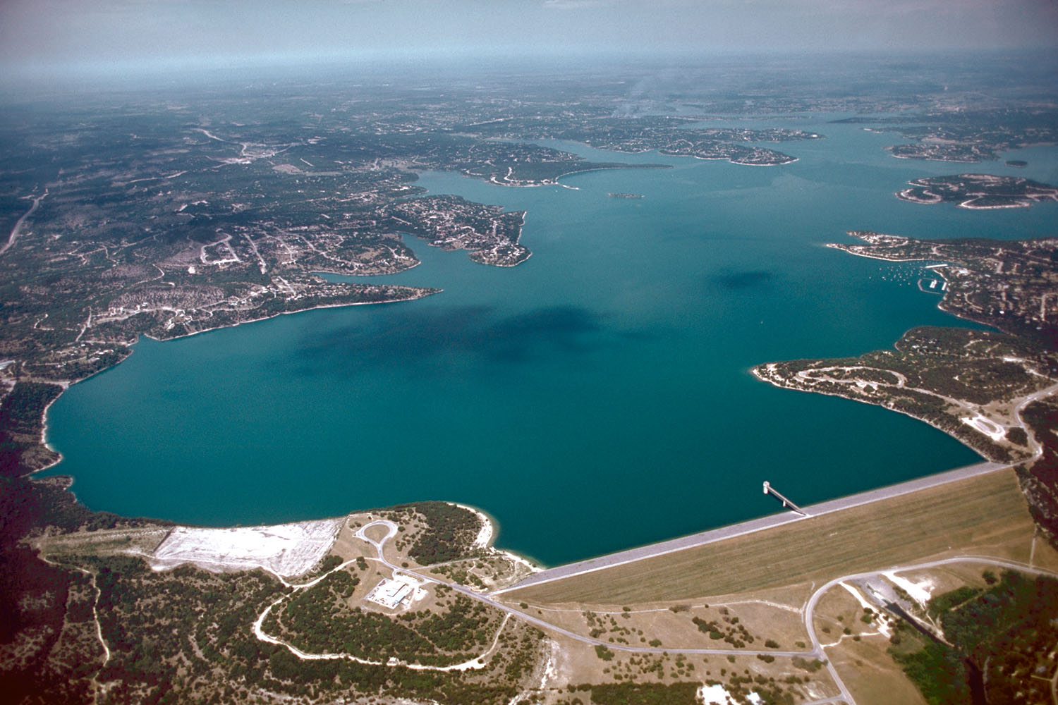
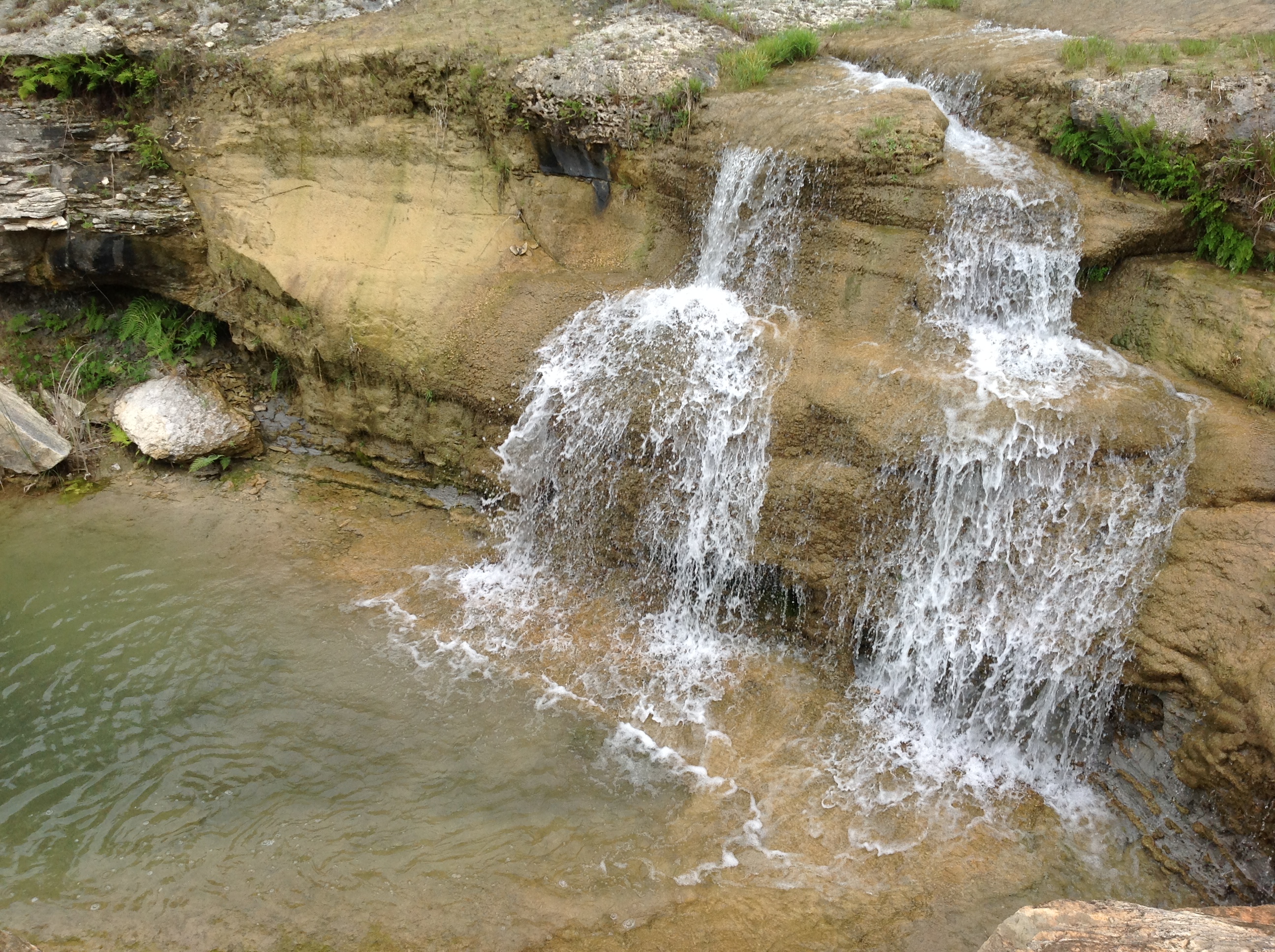
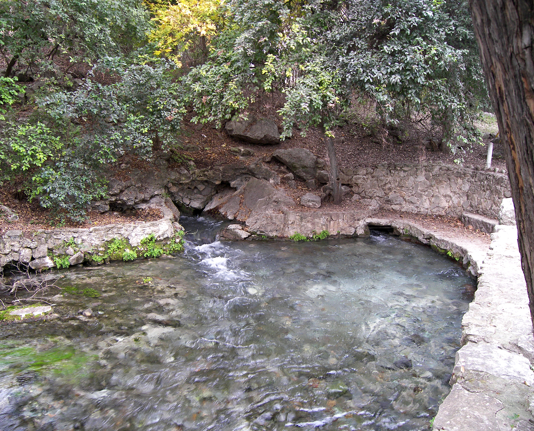
What Canyon Dam actually does
Canyon Dam is not simply the wall beside a recreational lake. The U.S. Army Corps of Engineers built it across the Guadalupe for flood-risk reduction and water supply. Construction began in 1958; the dam was completed in 1964, impoundment followed, and the lake reached its conservation pool in 1968. The normal conservation pool is 909 feet above mean sea level. That number is the reference point—not a promise that every ramp, cove or shoreline access works the same way at 909 feet.
When the lake rises above conservation pool, the Corps evaluates elevation, inflow, forecasts and downstream flood conditions. Outflow is managed jointly with the Guadalupe-Blanco River Authority. That is why I show the lake elevation and the Sattler gauge together. One tells you what is stored behind the dam; the other shows what is moving into the Guadalupe immediately below it. Neither number, by itself, tells you whether a particular ramp is usable or whether an outfitter is operating.
Lake elevation
Useful for understanding the reservoir relative to the 909-foot conservation pool and for watching direction over time. It does not equal water depth and does not guarantee shoreline or ramp access.
Discharge in cfs
Cubic feet per second measures the volume moving past a gauge. It helps compare flow, but it does not describe every chute, obstruction, temperature or access rule downstream.
Gage height
A local water-surface measurement tied to that specific gauge. Do not treat it as river depth everywhere or compare raw stage numbers from different gauges.
Trend
A 48-hour rise or fall can matter more than a single snapshot. Recent upstream rain and forecast storms belong in the decision even when the sky overhead looks harmless.
Read the Guadalupe by reach
Above Canyon Lake, the Guadalupe is still gathering water from the Hill Country watershed. At Sattler, below the dam, controlled releases strongly shape flow and the cold-water recreation economy. Along River Road, crossings, private property, campgrounds and lawful access determine what you can actually do. At New Braunfels, the river enters a more urban and heavily used setting—and then receives the Comal.
That geographic sequence is why “the Guadalupe is running at ___ cfs” is incomplete. Always ask: measured where, at what time, for which activity and with what access?
The Comal is short, spring-fed and separate
The Comal rises from the large spring system at Landa Park and joins the Guadalupe in New Braunfels. Its identity matters. Visitors frequently talk about “the river” as though the Comal tubing district, the Guadalupe below Canyon Dam and the Guadalupe upstream of the lake were interchangeable. They are not. The current Comal gauge belongs here because families choosing between a Comal float and a Guadalupe day are choosing between different water systems, logistics and risks.
7-day weather outlook
Canyon Lake status and dam operations
Use the Corps pages for reservoir status, gate and release information, parks and the dam’s operating context.
Open Canyon Lake Water Management →Open the raw gauges
Canyon Lake · Guadalupe at Sattler · Guadalupe above the Comal · Comal at New Braunfels